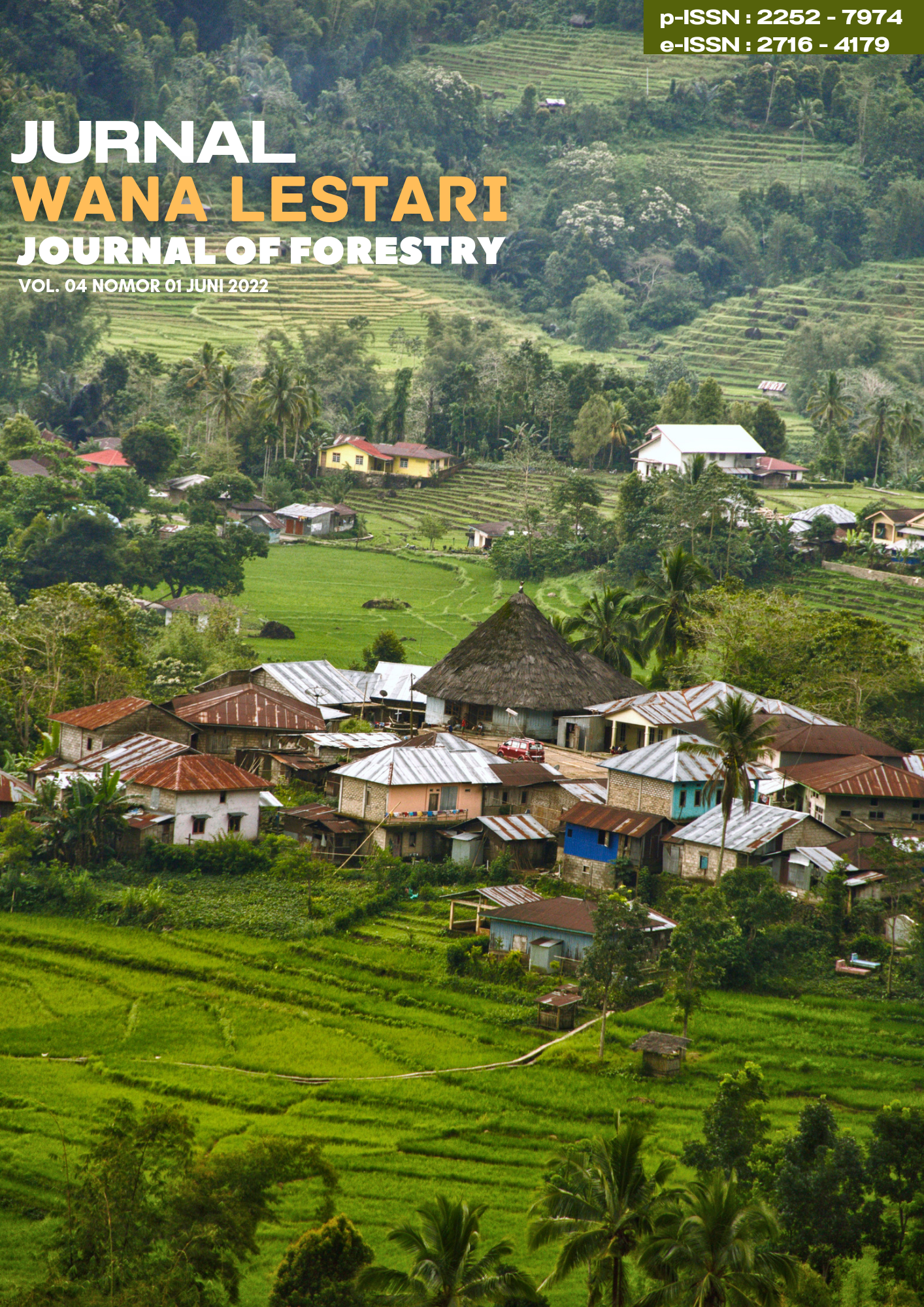
IDENTIFICATION OF COVERS AND PHYSICAL CONDITIONS OF THE ROTIKLOT DAM CONSTRUCTION AREA, IN FATUKETI VILLAGE, KAKULUK MESAK DISTRICT, BELU REGENCY, EAST NUSA TENGGARA PROVINCE.
Abstract
This research was conducted to determine the biophysical aspects and their impact on the community around the planned area of the Rotiklot dam in Fatuketi Village, Kakuluk Mesak District, Belu Regency, East Nusa Tenggara Province. This type of research is descriptive with qualitative methods with the data sources used in this study. The study data is divided into two types of data, namely, primary data and secondary data. Primary data is data obtained directly from the field through measurements, observations, calculations, notes and interviews with related parties related to the object being studied. Primary data obtained include stand data (diameter and height), area based on sample plots made and socio-economic data and community perceptions obtained through interviews. The results of the field study show that the location of the planned Rotiklot dam construction in Fatuketi Village, Kakuluk Mesak District, Belu Regency, East Nusa Tenggara Province which is indicated to be included in the Indicative Map of Delaying the Granting of New Permits for forest use. The potential of natural resources available in the area of the planned Rotiklot dam construction area is generally not too large, considering that the condition of the land around the planned dam construction area is classified as unfavorable for agricultural development, the rice fields around the upstream area of the Rotiklot Dam development plan only utilize rainfed rice fields, very dry conditions during the dry season make the rice fields unusable due to a lack of water supply. Vegetation/coverage in the area of the Rotiklot Dam construction in Fatuketi Village, Kakuluk Mesak District, Belu Regency, East Nusa Tenggara Province, is dominated by forest Bamboo Bambusa sp), Eucalyptus (Eucalyptus deglupta), Red wood (Pterocarpus cortexs), Tamarind (Tamarindus Sp), Schleichera (Schleichera oleosa), Sea poison tree (Barringtonia asiatica), Cassod tree (Cassia siamea), Kuteera-Gum (Acasia leucophloeae), Indian jujube (Zyzyphus mauritiana), Leucaena leucocephala, Gebang palm (Corypha utan Lam), Bauhinia trees (Bauhinia purpure)
Downloads
Copyright (c) 2022 Wana Lestari

This work is licensed under a Creative Commons Attribution-ShareAlike 4.0 International License.

 Nixon Rammang(1*)


