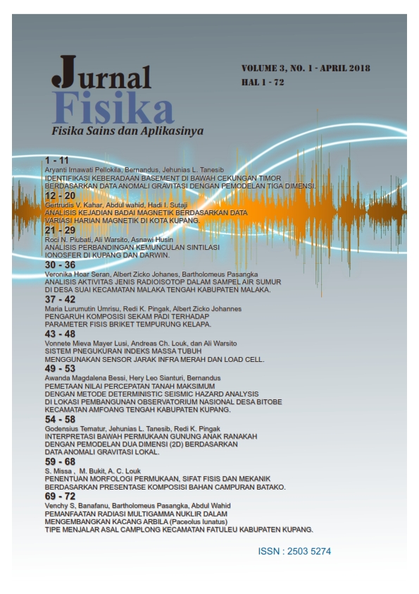
PEMETAAN NILAI PERCEPATAN TANAH MAKSIMUM DENGAN METODE DETERMINISTIC SEISMIC HAZARD ANALYSIS DI LOKASI PEMBANGUNAN OBSERVATORIUM NASIONAL DESA BITOBE KECAMATAN AMFOANG TENGAH KABUPATEN KUPANG

-
 Awanda Magdalena Bessi(1)
 Universitas Nusa Cendana
-
Hery L. Sianturi(2*)
Universitas Nusa Cendana
-
Bernandus Bernandus(3)
Universitas Nusa Cendana
(*) Corresponding Author
Abstract
ABSTRAK
Penelitian menggunakan metode HVSR (Horizontal to Vertical Spectral Ratio) telah dilakukan untuk memetakan daerah yang rawan terhadap gempa bumi di Desa Bitobe. Tujuan dari penelitian ini adalah mengetahui nilai periode dominan tanah dan percepatan tanah maksimum, serta untuk membuat peta PGA dan juga peta Mikrozonasi. Pengambilan data dilakukan pada 45 titik dengan jarak antar titik ± 250 m dari titik satu ke titik lainnya dengan waktu perekaman selama ± 20 menit menggunakan TDS tipe 303S. Data yang diperoleh diolah menggunakan software Datapro, Geopsy, Surfer 13, dan Google Earth. Hasil pengolahan data diperoleh nilai frekuensi dominan (). Parameter ini digunakan untuk meghitung nilai PGA menggunakan persamaan empiris Kanai dengan data katalog gempa bumi dari tahun 1966-2016. Metode Mc.Guirre dan Esteva hanya menggunakan data katalog gempa saja dalam menghitung PGA. Berdasarkan hasil penelitian, didapatkan bahwa nilai frekuensi dominan berkisar antara 0,273 Hz – 17,887 Hz. Nilai percepatan tanah maksimum berdasarkan persamaan empiris Kanai berkisar antara 32,319 gal – 261,178 gal, Mc.Guirre berkisar antara 128,215 gal – 134,862 gal dan Esteva berkisar antara 147,359 gal – 156,007 gal. Hasil dari ketiga persamaan ini memiliki perbedaan dengan peta hazard gempa Indonesia.
Kata kunci: HVSR, Mikrozonasi, Kanai, Mc.Guirre, Esteva, Bitobe
ABSTRACT
The research using HVSR (Horizontal to Vertical Spectral Ratio) has been carried out to map the disturb areas to earthquakes in Bitobe village. The aims of this research are to determine the values of soil dominant frequency and the peak ground acceleration than make PGA map and also microzonation map. Data were collected at 45 points with the distance between points ± 250 meters from one point to the other with ± 20 minutes of recording time used TDS 303S type. The data were processed using software Datapro, Geopsy, Surfer 13, and Google Earth. The result of data processing was dominant frequency value (). This parameter was used to calculate the peak ground acceleration with Kanai empirical equations. The earthquakes catalog data were used from 1966-2016. Mc.Guirre and Esteva method only used the earthquakes catalog data to calculated the PGA. According to this research, it was obtained that the values of the dominant frequency was about 0,273 Hz – 17,887 Hz. The values of peak ground acceleration based on Kanai empirical equations about 32,319 gal – 261,178 gal, Mc.Guirre about 128,215 gal – 134,862 gal and Esteva about 147,359 gal – 156,007 gal. The result of this third equations have different with the earthquakes hazard map of Indonesia.
Key Words: HVSR, Microzonation, Kanai, Mc.Guirre, Esteva, Bitobe
Downloads
Published By 
Jl. Adisucipto, Penfui-Kupang, Lasiana, Klp. Lima, Kota Kupang, Nusa Tenggara Timur., Indonesia

This work is licensed under Attribution-NonCommercial-ShareAlike 4.0 International (CC BY-NC-SA 4.0)