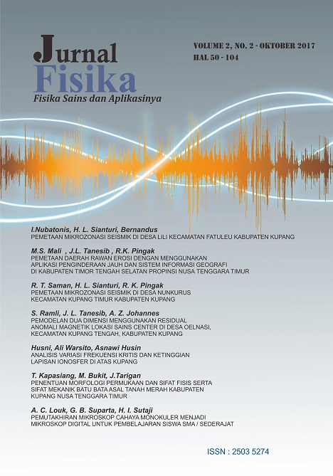
PEMETAAN MIKROZONASI SEISMIK DI DESA NUNKURUS KECAMATAN KUPANG TIMUR KABUPATEN KUPANG
Abstract
ABSTRAK
Telah dilakukan penelitian mikrozonasi seismik di desa Nunkurus Kecamatan Kupang Timur Kabupaten Kupang. Penelitian ini bertujuan untuk mengetahui nilai frekuensi dominan tanah, nilai ampifikasi, indeks kerentanan tanah dan percepatan tanah serta membuat peta indeks kerentanan tanah dan peta. Berdasarkan hasil penelitian diperoleh nilai frekuensi dominan tanah berkisar antara 0.293 Hz – 18.41 Hz, nilai amplifikasi berkisar antara 1,68–8,52, nilai indeks kerentanan seismik berkisar antara 0,3285 –179,23556 dan nilai PGA berkisar antara 107,77488 gal-218,62941 gal sehingga dapat dikatakan bahwa daerah penelitian berada dalam kawasan yang cukup aman karena hanya sebagian titik saja yang memiliki nilai frekuensi, nilai amplifikasi, nilai indeks kerentanan dan nilai PGA yang besar.
Kata kunci : Mikrozonasi, HVSR, Nunkurus
ABSTRACT
The research about seismic microzonation in Nunkurus village, sub-district of east Kupang, district of Kupang has been done. The aims of this research are to determine the values of soil dominant frequency, magnitude of amplification, seismic vulnerability index, the peak ground acceleration and to make seismic vulnerability index map and PGA map. The results showed that the values of the the values of the dominant frequency was about 0,293 Hz – 18,41 Hz, the amplification about 1,68 – 8,52. Meanwhile, the index of vulnerability was found to be 0,32853 – 179,23556 and peak ground acceleration values about 107,77488 gal - 218,62941 gal so it can be said that the area of research is safe enough because only a single point that has the frequency value, the value of amplification, the index value of vulnerability and PGA great value.
Keywords : Microzonation, HVSR, Nunkurus
Downloads
Jl. Adisucipto, Penfui-Kupang, Lasiana, Klp. Lima, Kota Kupang, Nusa Tenggara Timur., Indonesia
This work is licensed under Attribution-NonCommercial-ShareAlike 4.0 International (CC BY-NC-SA 4.0)
 Roswita T. Saman(1)


